Public Transportation Maps
Find all the routes of the city's public transportation lines in an instant. Here, you can access our downloadable maps for each network: metro, RER, tramway, and bus.
The entire RATP network serves Paris and the Parisian suburbs:
- The metro network is very dense within Paris and extends to the nearby suburbs,
- Buses are spread throughout Île-de-France, particularly within Paris and the inner suburbs,
- RER lines cross Paris from one end to the other, connecting the departments of Île-de-France,
- Tramway lines are located on the outskirts and in the inner suburbs.
Download the RATP map of your choice to discover the routes of each network.
Today, the metro, bus, tramway, and RER network has over 380 lines, 900 km of tracks (excluding buses), 6000 stops, stations, and 2.3 billion trips in Île-de-France in 2021.
To navigate this vast network, remember to download your RATP map in PDF format.
Network map in Île-de-France
Click on the map to enlarge.
Other maps
Click on the map to enlarge.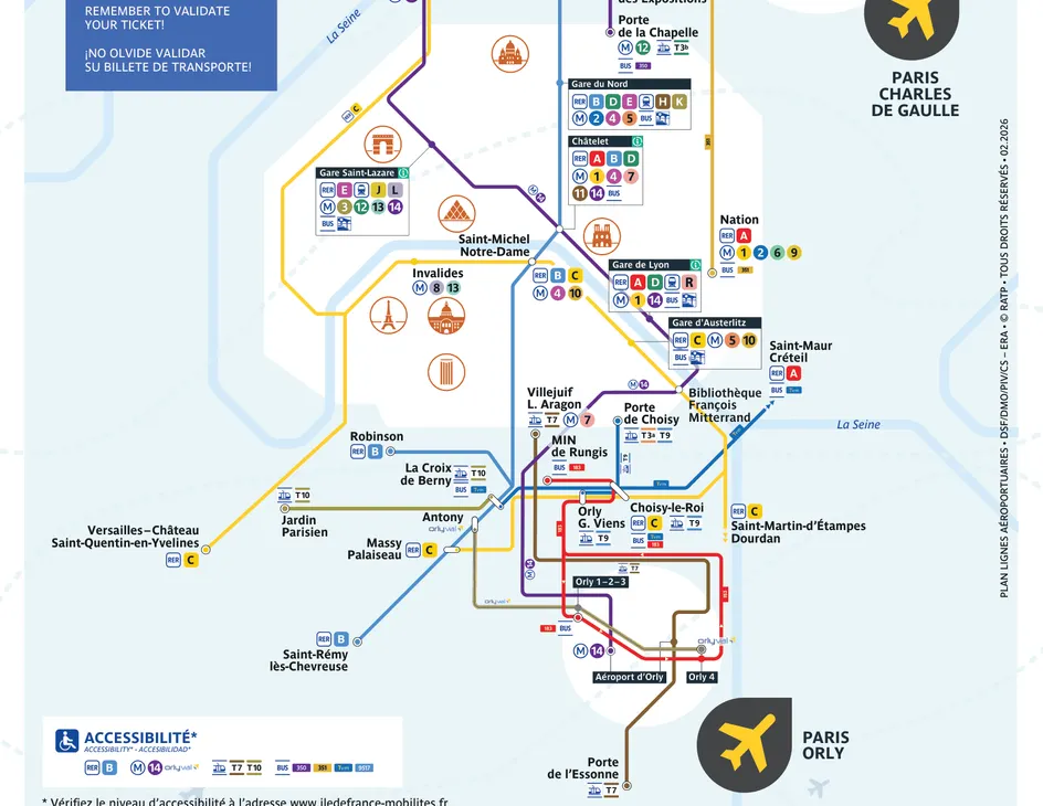
Check the map of your line and find the schedules
Travel with all network plans in your pocket
