Tramway Maps
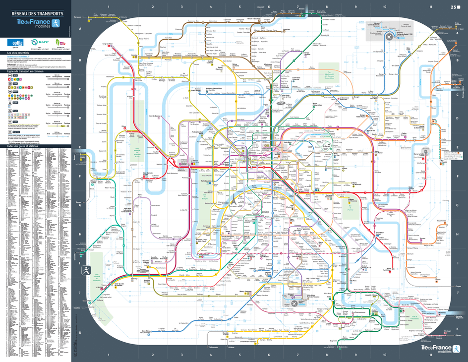
Your Paris tramway map accessible in one click! Find the routes of the lines and the locations of the tramway stops in the Île-de-France region to plan your journey. The relationship between Paris and the tramway goes way back! After being the main mode of public transportation in the 19th century, the tramway disappeared from the streets of Paris in the mid-20th century. Since 1993, the tramway has experienced a revival in the outskirts of Paris, welcoming over a million passengers every day.
There are currently 12 tram lines in Paris, serving 235 stations. These 126 km of tracks are mainly located outside of Paris, serving different areas of the region and strengthening the network of public transportation in Île-de-France. The tramway lines T3a and T3b, on the other hand, encircle the city and serve a large part of the Portes de Paris area, connecting with numerous metro and RER lines. Check out the Paris tramway map to discover the entire network.
The tram lines T11, T13, and the future line T12 are a bit different from the others. They are express lines. They are traveled by tram-trains capable of running on national railway tracks. Note that the T+ ticket is not valid on the express tram lines. In one click, download the tram map in PDF format to travel on the Paris tramway network.
Tramway route map in Paris and Île-de-France
Click on the map to enlarge.
Check the map of your line and find the schedules

All public transports
Discover the public transportation network in Île-de-France: line maps, real-time traffic, and other practical information.Also download maps for: ⬇️ people with reduced mobility ⬇️ wheelchair users